
The Battle for Broxhead Common
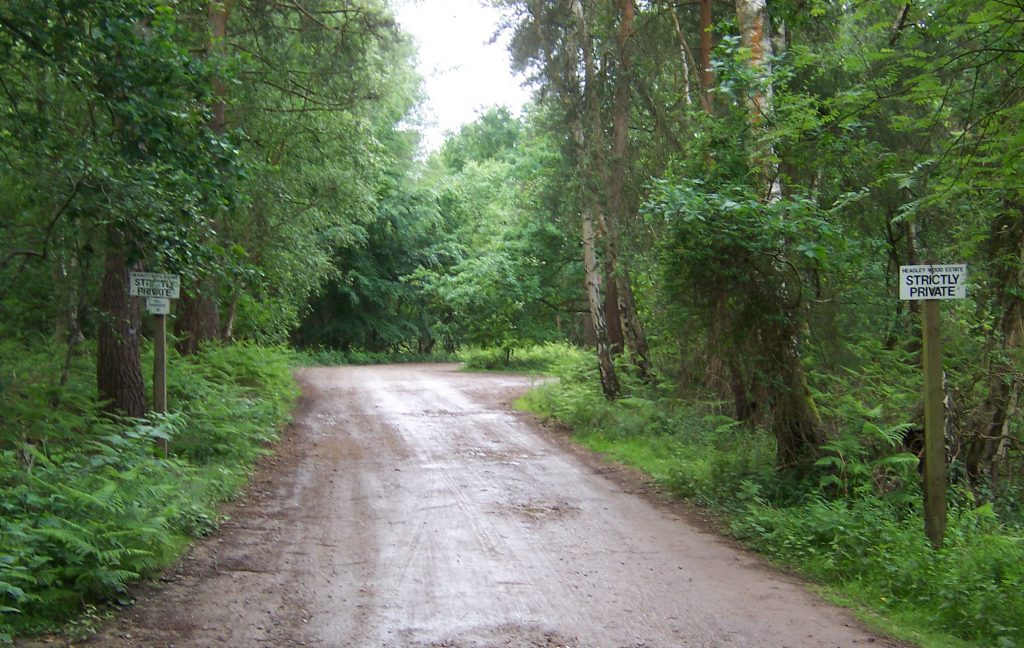
Broxhead Common. No horse riding signs erected 1997
The Case for Hampshire County Council – PART 65
- The unlawful fencing had obstructed access to the twenty-three trails that John Ellis had counted on the Ordnance Survey Map; these were replaced by BW46 running east to west from Frensham Lane along Linsted Lane to the B3004 and the other, BW4 which ran north to south from Lindford B3004 to the junction with BW46 where it became a FP. This left no bridleway to the north side of the common along the road C102, Picketts Hill.
- Horse riders had been accessing the common from the north by way of the old highway extension of Cradle Lane, off road past the Headley Rifle and Pistol Range and then on to the track by the tree nursery, as well as along FP4 near Trottsford Farm. This can be seen on a 1960’s map of the area.
- 5th March 1964 minutes of the Headley Parish Council meeting show that they had asked the Association of Parish Council’s legal advisor for advice. It was suggested that they should ask the Hampshire County Council if permission has been given for the fencing and point out that FP4 had been ploughed out and not reinstated.
1964 Headley PC to HCC re Broxhead_16062022_175829 - It can be seen from the minutes that many questions were being asked and the Headley Parish Council constantly objected to the plan to take five acres of the common land for playing fields as well as the obstructive fencing in of 80 acres of it.
1968, HCC to John Ellis12092021 - 12th March 1968, a letter from the Clerk of Hampshire County Council to Mr McGhee, Clerk of the Headley Parish Council. In this he confirms the County Council will provisionally register Broxhead Common for the CRA 1965 because it is shown in Doctor Tavener’s Common Lands of Hampshire. This was a work commissioned by Hampshire County Council in 1956 as a comprehensive survey of the commons in Hampshire ‘which were known to exist in abundance’ and which they may wish to use as evidence for the 1955 Royal Commission on Common Lands. The terms of reference of the Royal Commission were:
‘To recommend what changes if any are desirable in the law relating to common land in order to promote the benefit of those holding manorial and common rights, the enjoyment of the public, or where at present little or no use is made of such land its use for some other desirable purpose.’
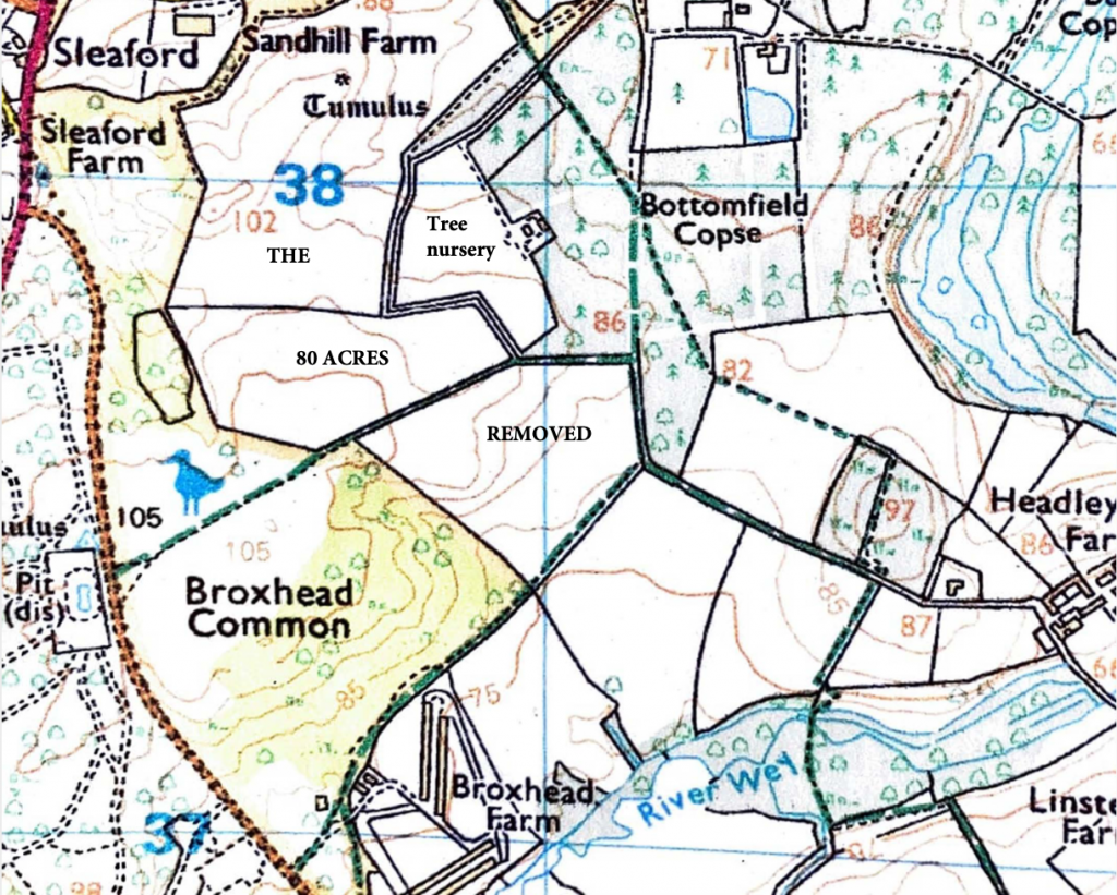
1962 Broxhead map showing the track around the tree nursery
Next time: to be continued.